Highshot Imagery LLC

360 Virtual Property Example

Incorporating virtual tours into your property marketing strategy is the key to staying ahead in the real estate and short-term rental market. It’s all about creating a convenient, transparent, and immersive experience that caters to the needs of modern buyers. Don’t miss out on the opportunity to maximize your property’s potential and attract serious buyers. Contact us today to learn more about how virtual tours can transform your property listings!

Image Slider for Comparison Example

With an image comparison, you can compare your project over the course of time to ensure progress is being made such as a construction build or change in environment.  It is also able to compare a visual image with a more technical image such as a digital surface model.  

Aerial Imagery and Processing

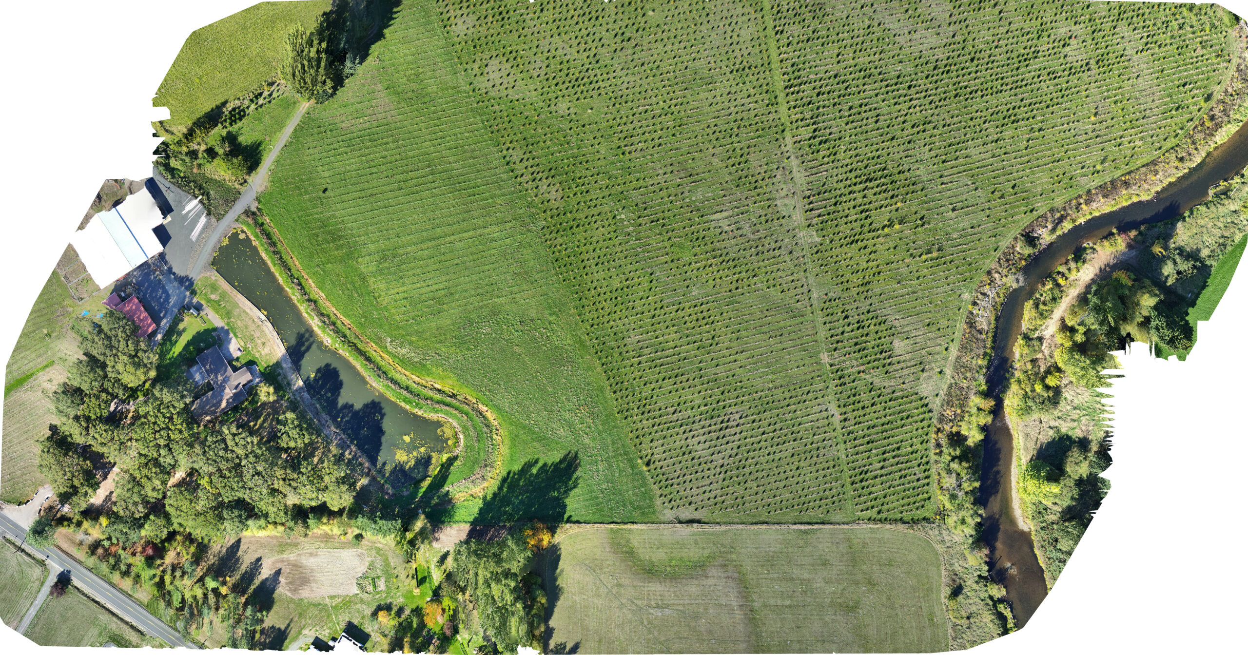
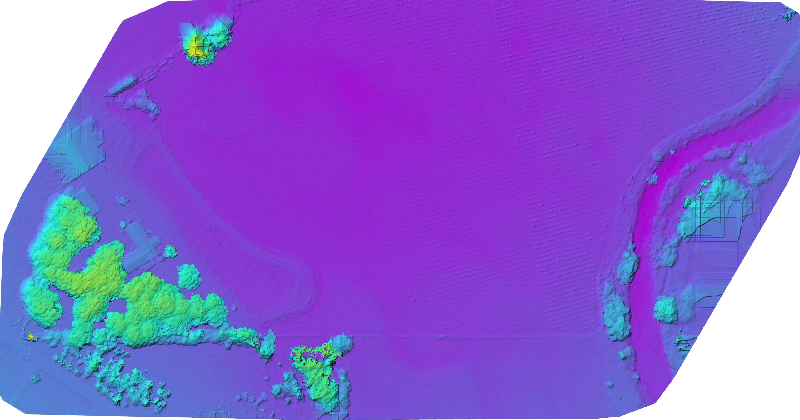
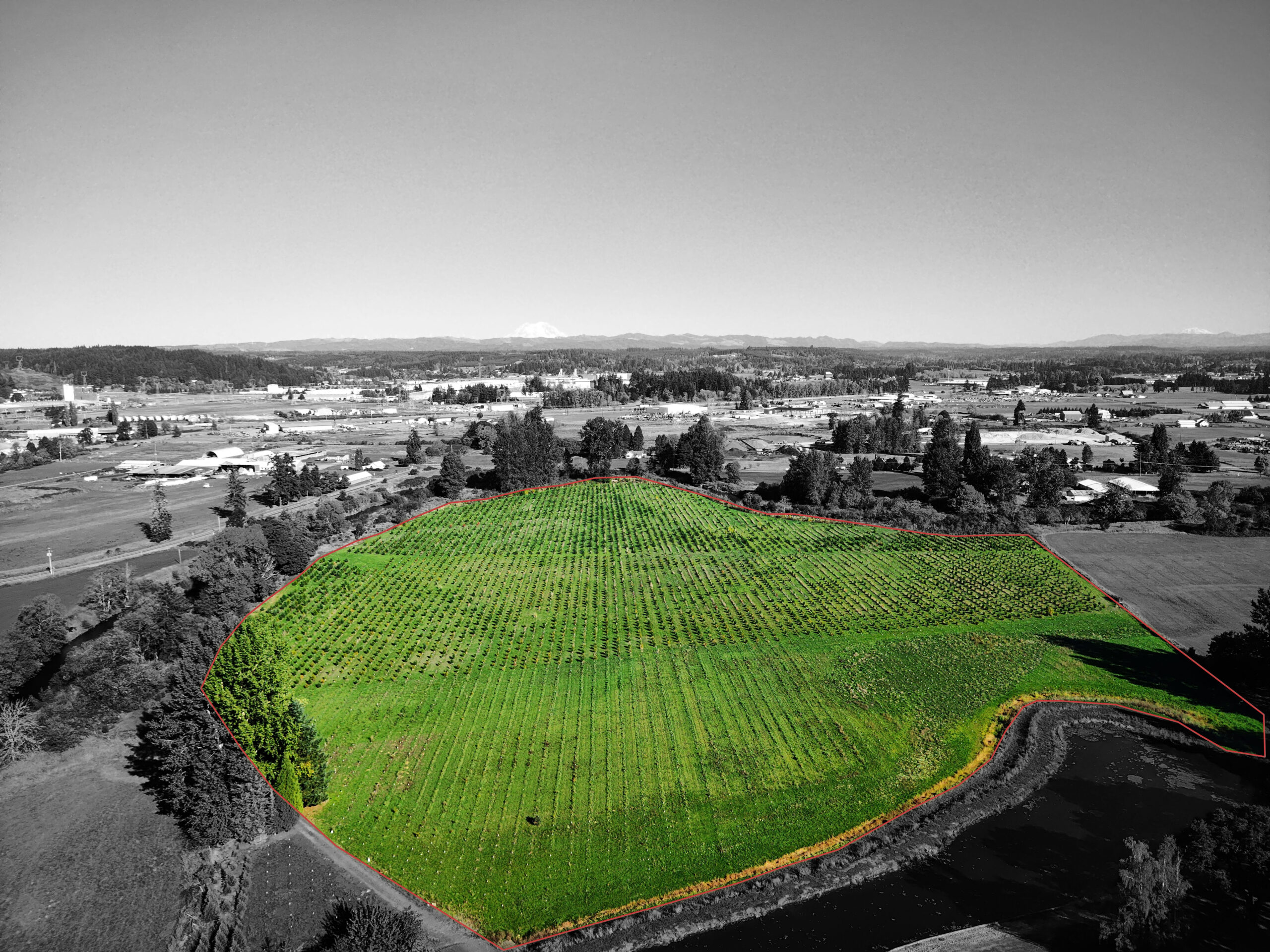
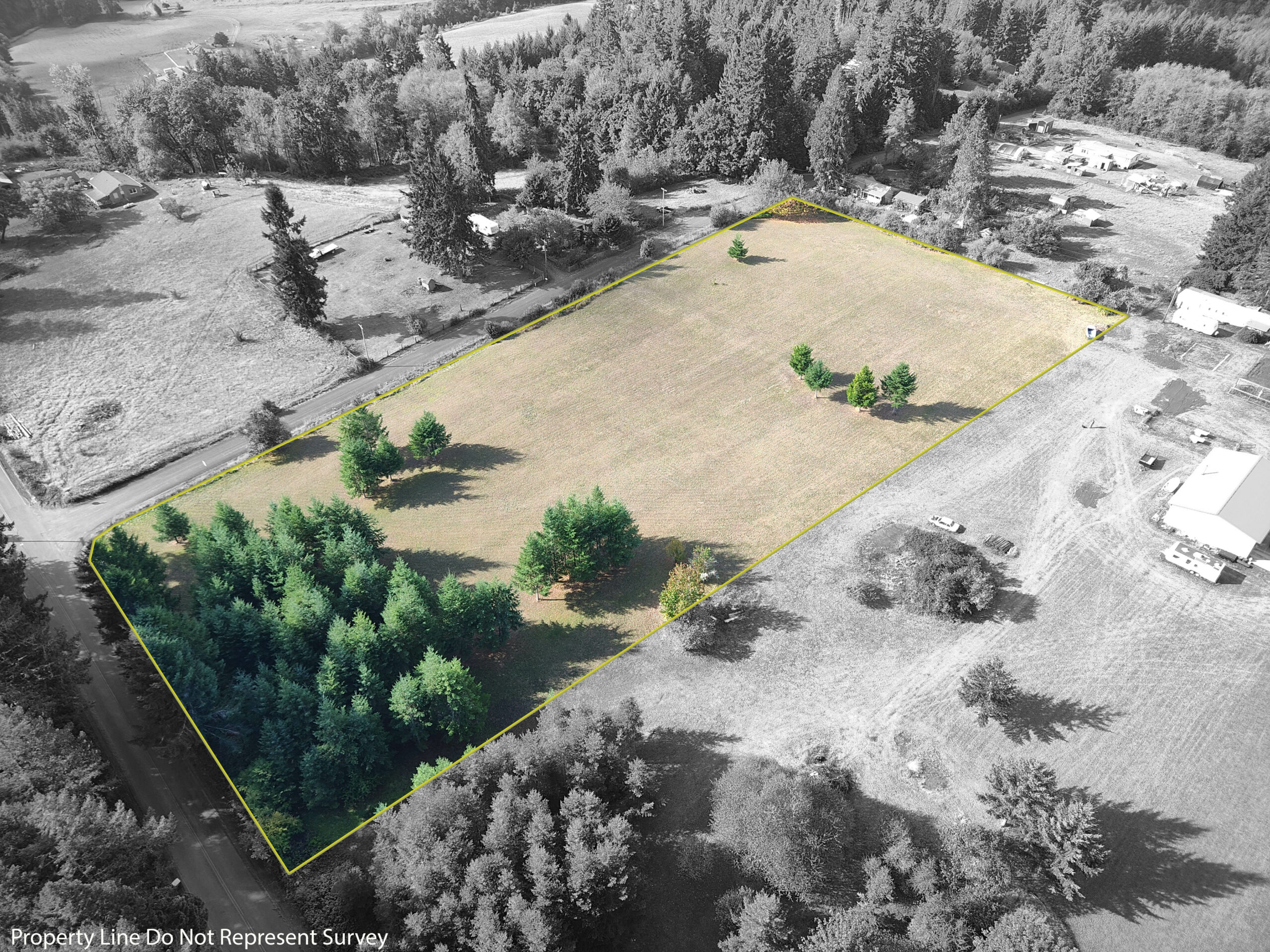
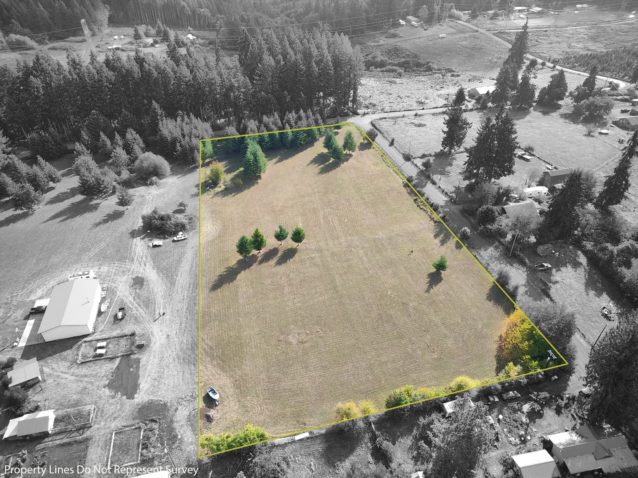
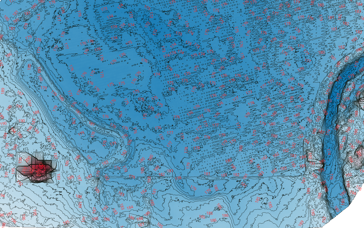
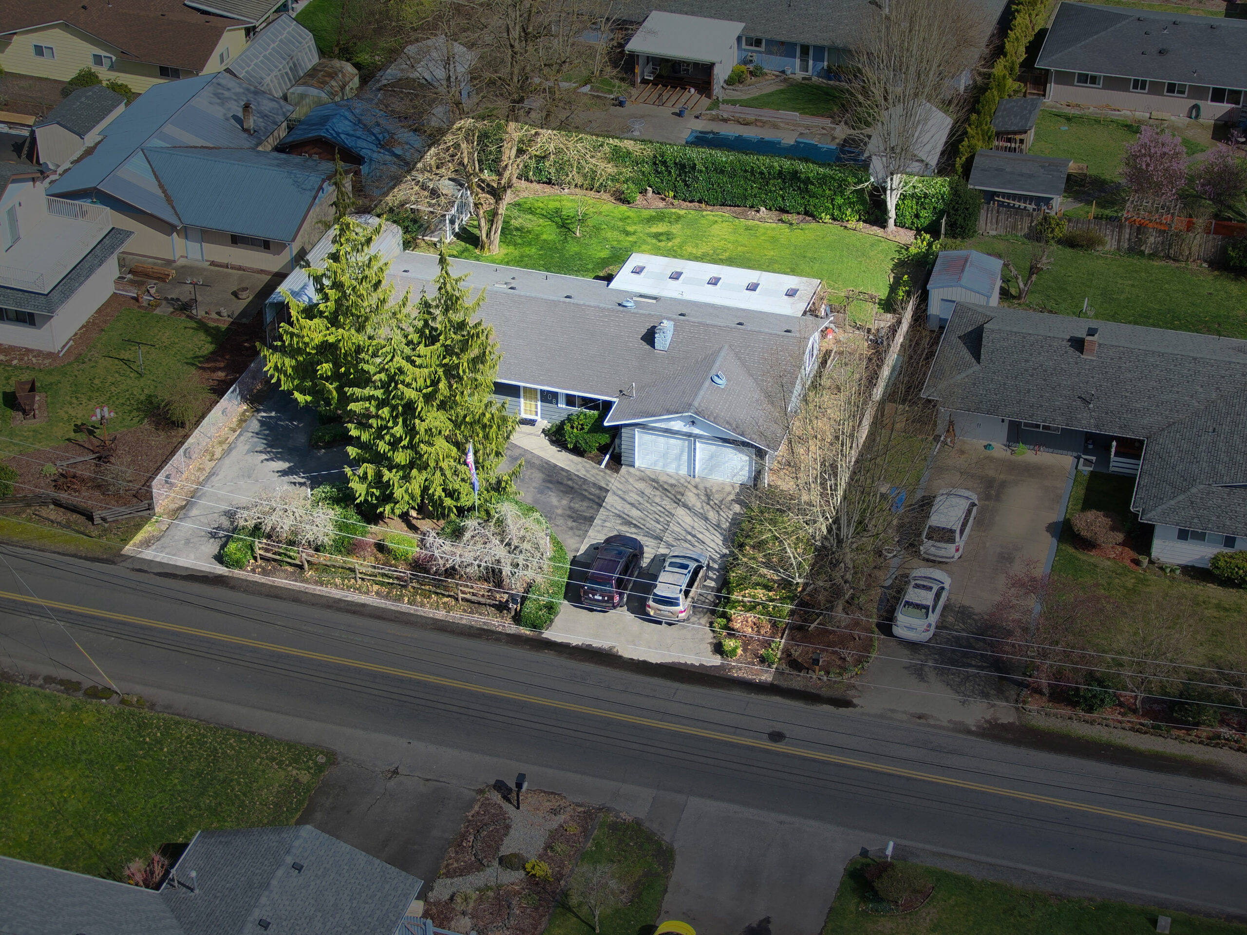
Aerial imagery offers valuable benefits such as high-resolution data, efficient coverage, unique perspectives, and the ability to monitor changes over time. It’s crucial for applications in real estate, agriculture, urban planning, environmental monitoring, emergency response, infrastructure inspection, and more. Aerial imagery provides insights, improves decision-making, and aids in various fields, from agriculture to scientific research.